

A researcher from the University of Northern B.C. is examining driving patterns to enhance future wildfire evacuation strategies.
PhD candidate Alireza Noory at UNBC has created a driving simulator designed to assist emergency planners in northern areas in understanding how drivers behave during evacuations caused by wildfires.
When a wildfire endangers a community, the choices made by drivers can significantly influence how swiftly individuals can reach safety.
The simulation will engage participants in a drive along Highway 97, north of Prince George, first under normal conditions and then during a wildfire evacuation scenario.
Metrics such as reaction time, speed, acceleration, braking, and lane positioning will be recorded in both scenarios.
“Gathering data from local drivers can lead to more accurate evacuation predictions, enabling local agencies to devise safer and more effective evacuation plans,” Noory stated.
“This is crucial since many existing evacuation models depend on generalized assumptions or data from different communities.”
The information gathered will be utilized to fine-tune a distinct computerized traffic model for Prince George, potentially aiding city officials in understanding how traffic may flow during an evacuation.
The adjusted model will allow for assessments of evacuation travel times, congestion levels, road closures, and alternative traffic management approaches before an evacuation occurs.
“The findings will illustrate how local drivers modify their behavior when faced with factors like visibility, urgency, emergency messaging, and wildfire-related hazards,” Noory noted.
“Interestingly, some individuals intentionally decrease their speeds. This was a surprising discovery for us,” he remarked regarding his observations thus far.
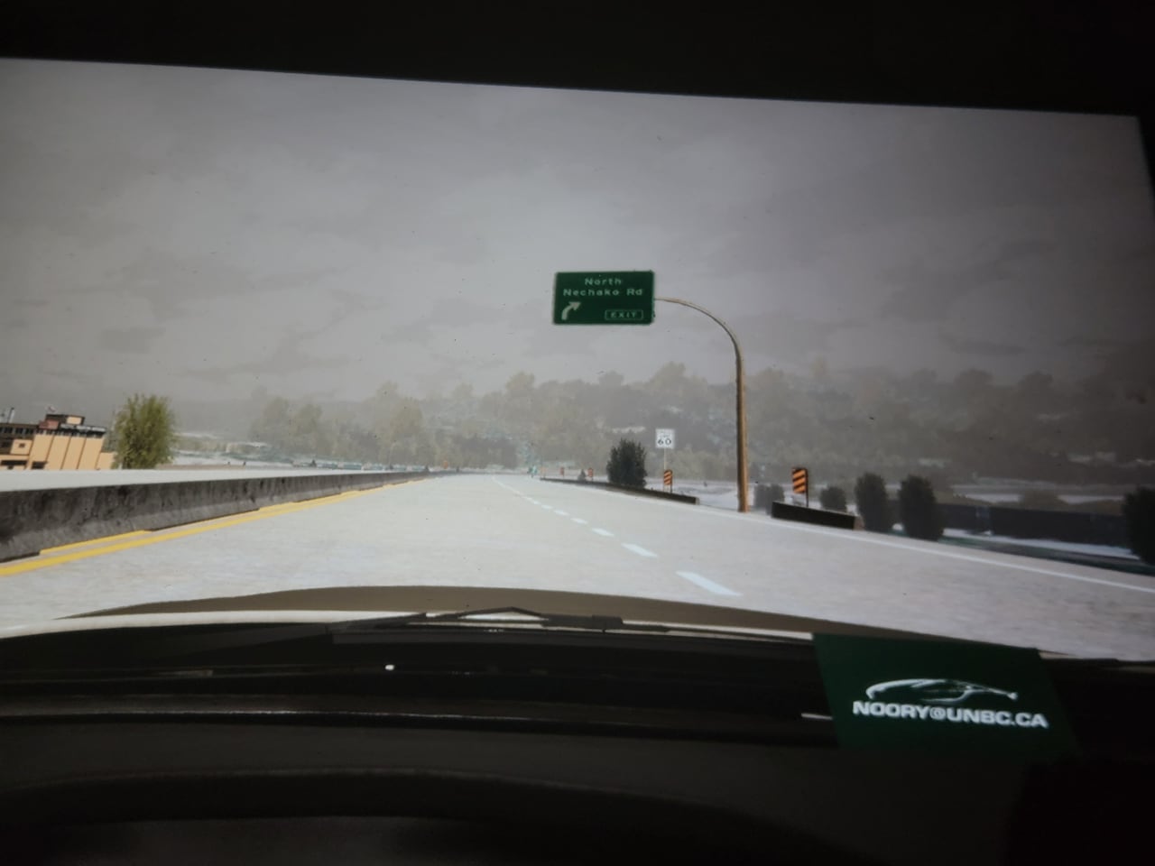
During the simulation, participants will navigate a recreated version of Highway 97 north of Prince George while being observed on their reactions in a high-stress scenario. (Jason Peters/CBC)
A New Resource in the Toolbox
As per the province’s evacuation process for Indigenous and local governments, most evacuations take place along roads and highways using personal vehicles or public and private transit.
Regions with restricted escape routes must also consider alternative transport options, including air, rail, and marine means.
Communities are encouraged to prepare for the number and geographical spread of evacuees, the capacity of transportation facilities, and the likelihood of congestion or bottlenecks.
They should also be aware of areas prone to damage, the availability of fuel, and contingencies for vehicle failures, in addition to coordinating routes with the appropriate authorities.
Williams Lake Mayor Surinderpal Rathor emphasized that having more tools available to communities enhances their preparedness for emergency situations.
“Our community underwent a full-scale evacuation in 2017. It was chaotic and incredibly frustrating,” he shared.
“People were frightened. They were unsure of what to pack and what to leave behind.”
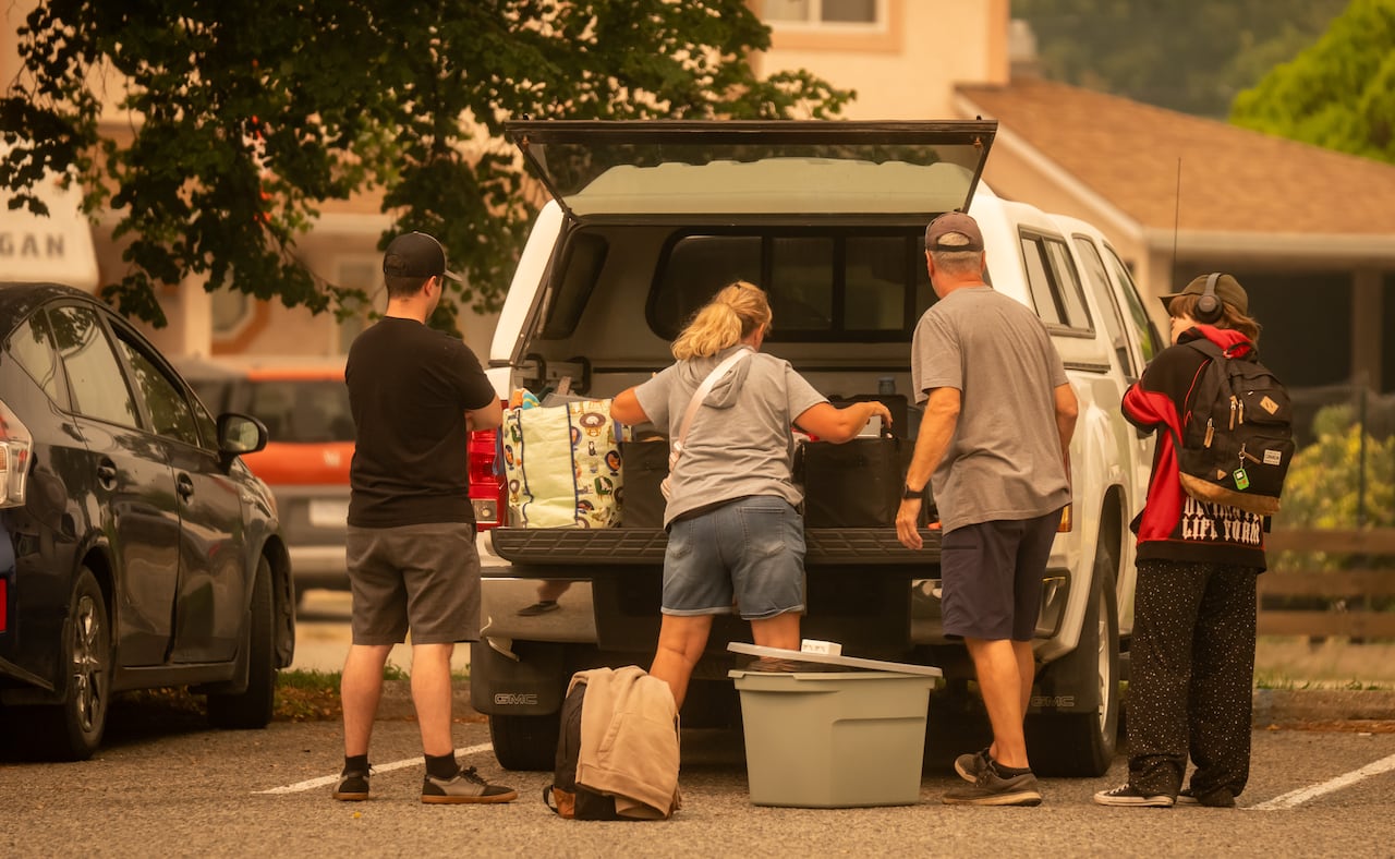
Evacuees from the Bald Range fire are seen at the evacuation center in Penticton, B.C., on Aug. 8. Mayor Surinderpal Rathor of Williams Lake notes that those fleeing wildfires often struggle with deciding what to take or leave. (Ben Nelms/CBC)
Rathor also pointed out that the influx of newcomers to the community means that the study’s findings could be beneficial in educating them on proper evacuation procedures.
“Traffic during an evacuation is 100 percent heavier than normal, resulting in heightened stress levels,” he explained.
“You encounter significantly more challenges, obstacles, and panic, especially if you’ve never experienced such heavy traffic before. Therefore, learning from these scenarios is always valuable.”
Researchers are seeking adult drivers of various ages and driving experiences to take part in the study.